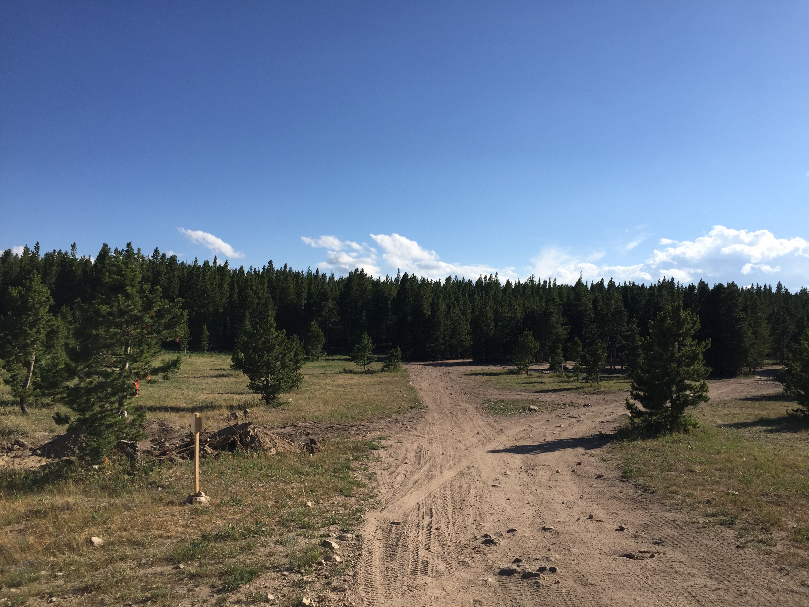
Easy parking next to the posted sign of the mining claim. To the right is the closed road (tilled up, great for prospecting!) and the access road (to the left). RV/camping spot behind camera.
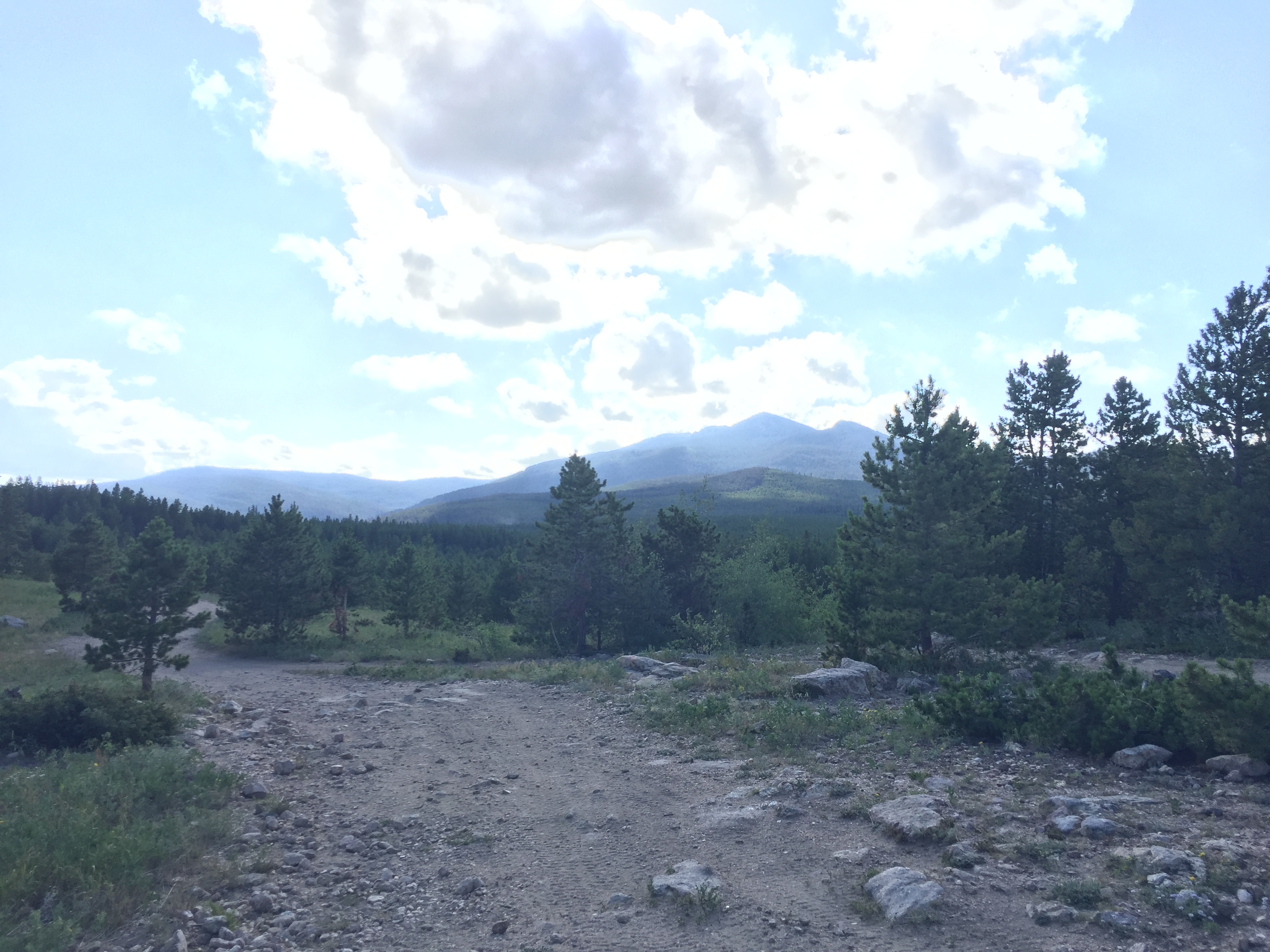
The Great Colorado Mine lode mining claim is a 20.66 acre unpatented mining claim in the Rocky Mountains, approximately 43 miles West of Fort Collins in the Manhattan Gold Mining District of Northern Colorado. It is only a few miles South of Red Feather Lakes.
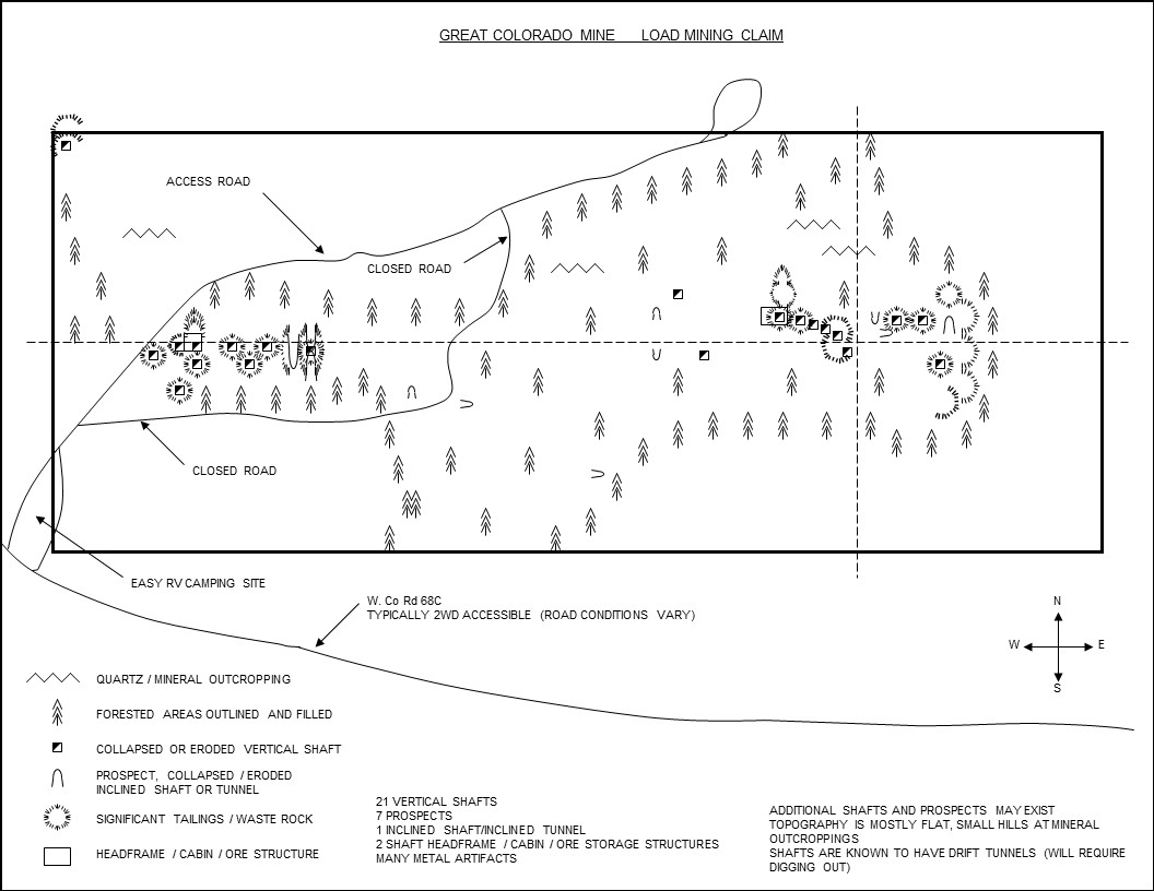
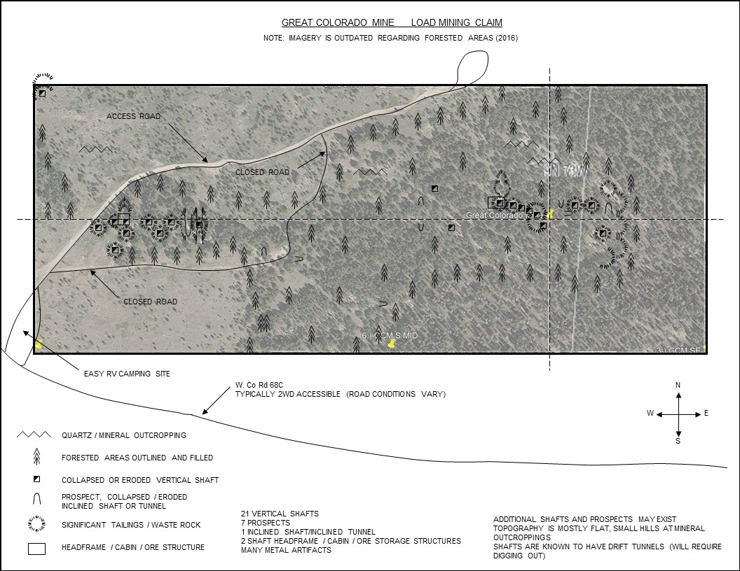
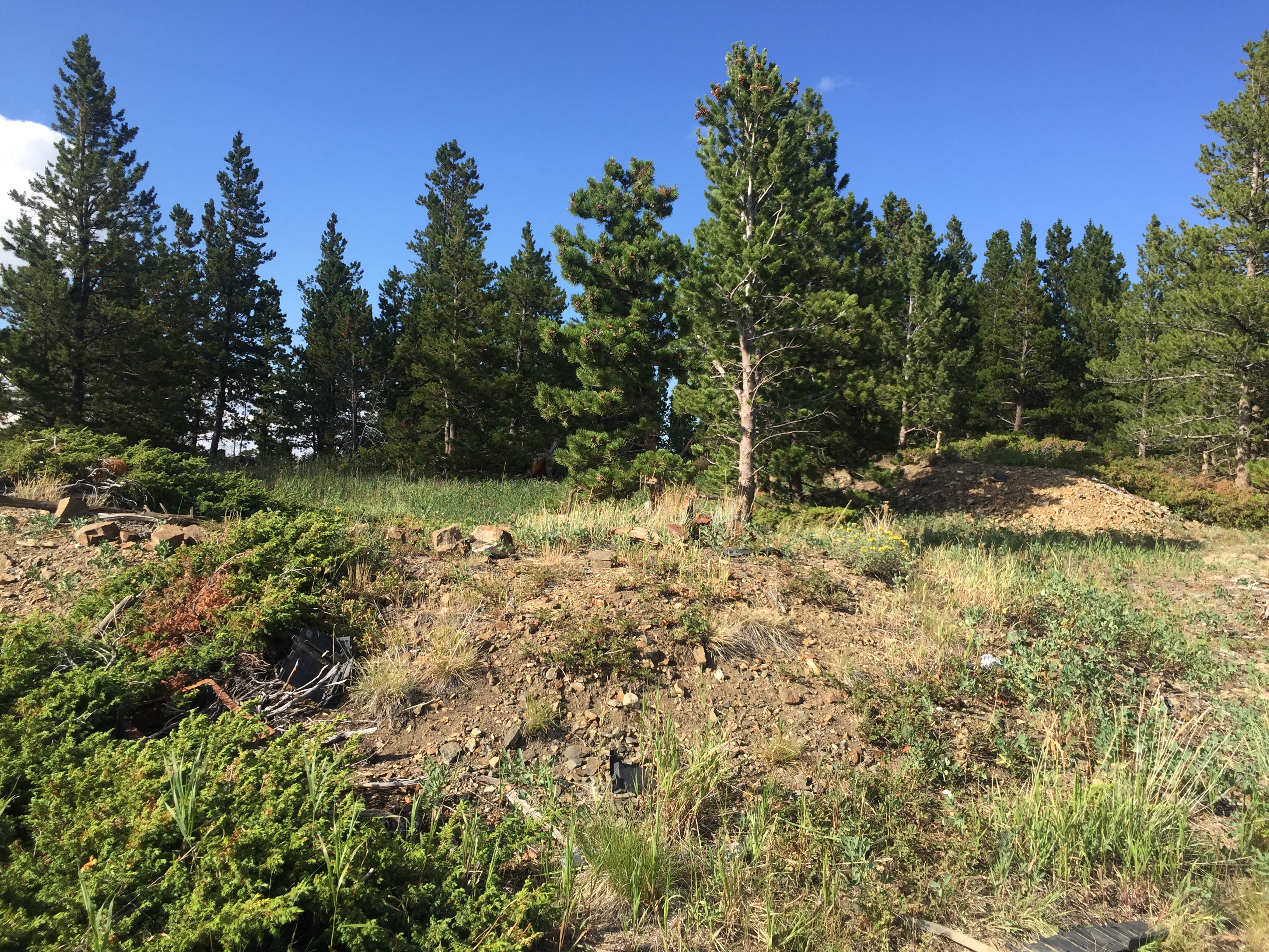
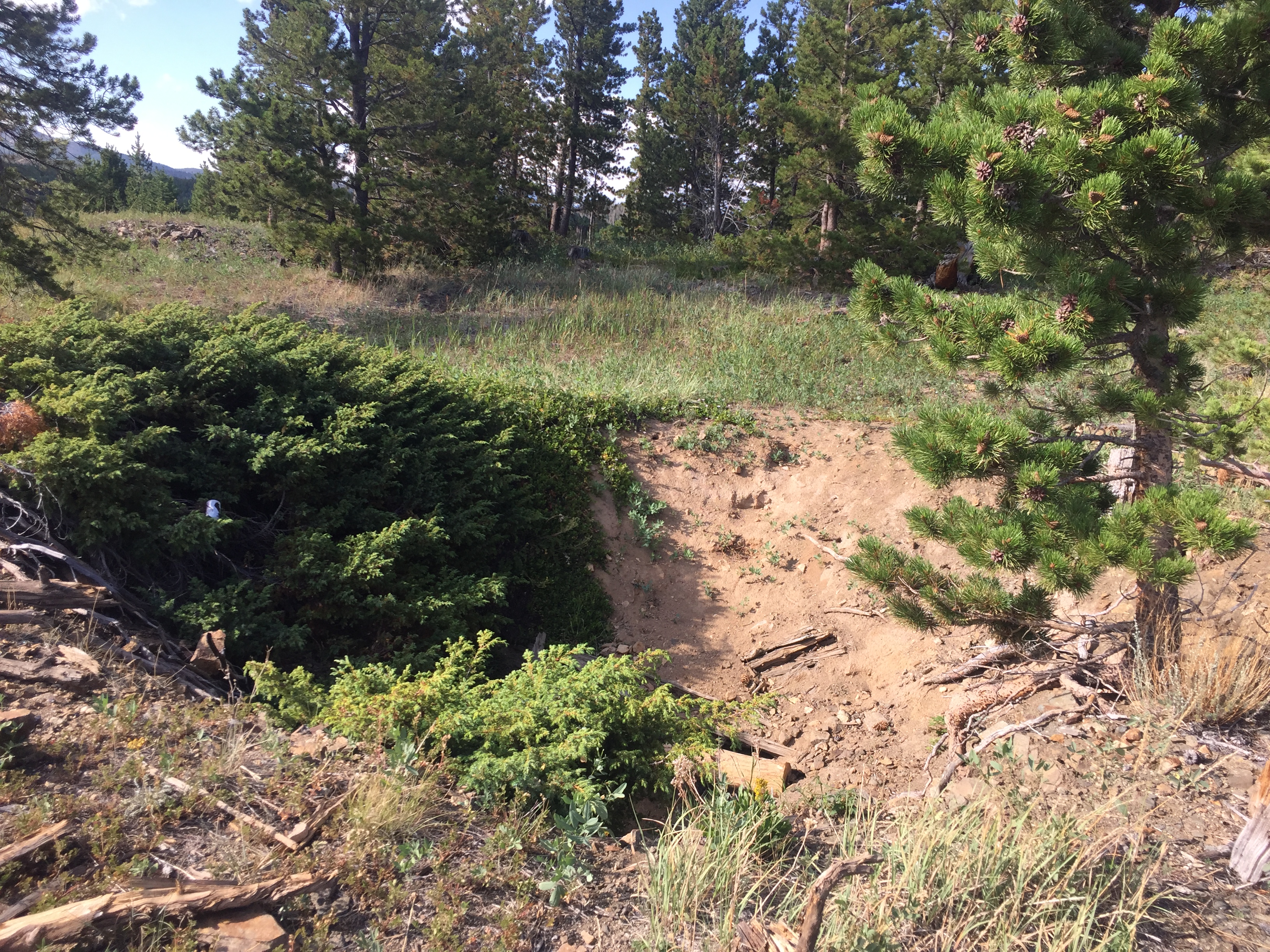
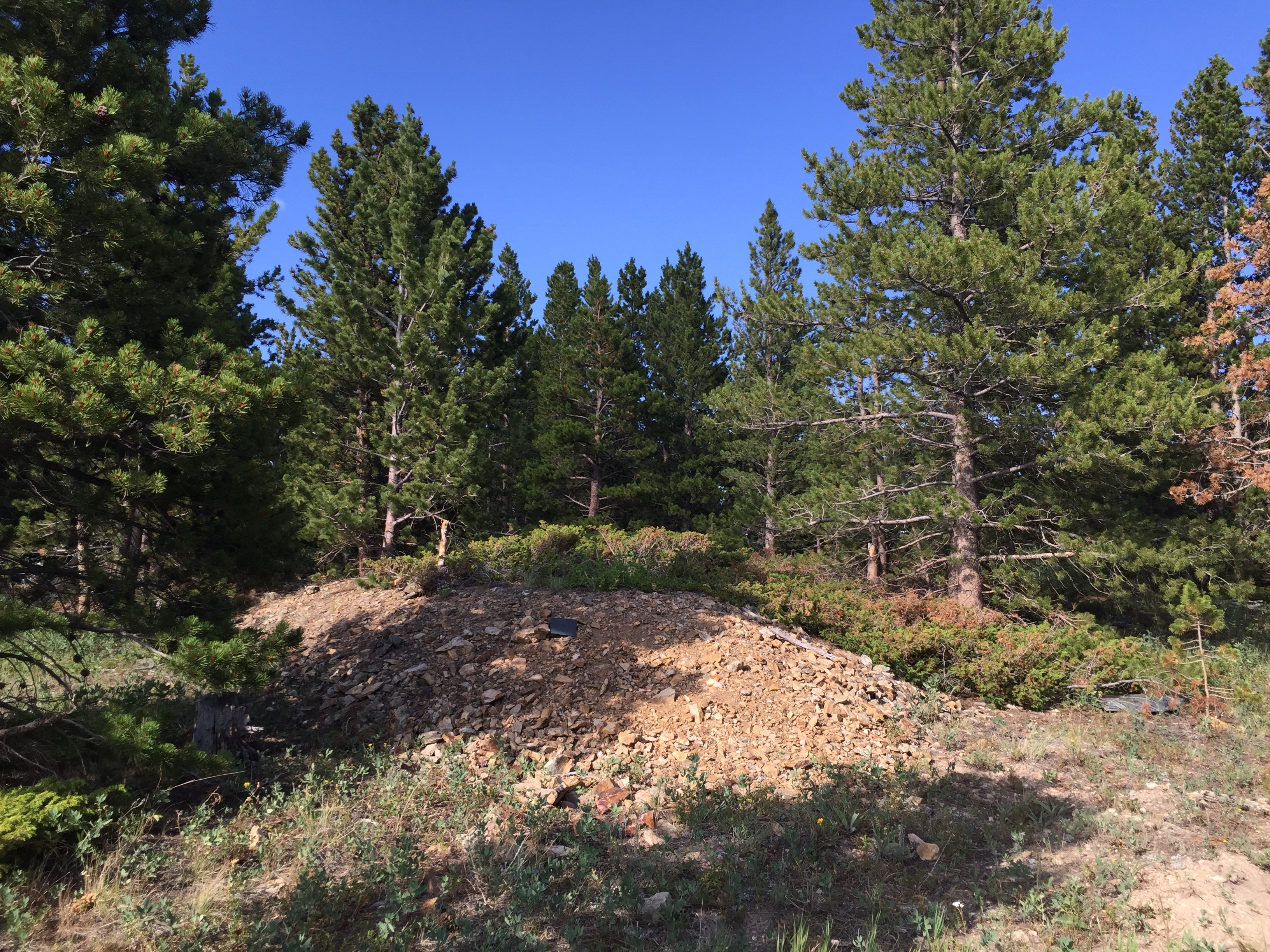
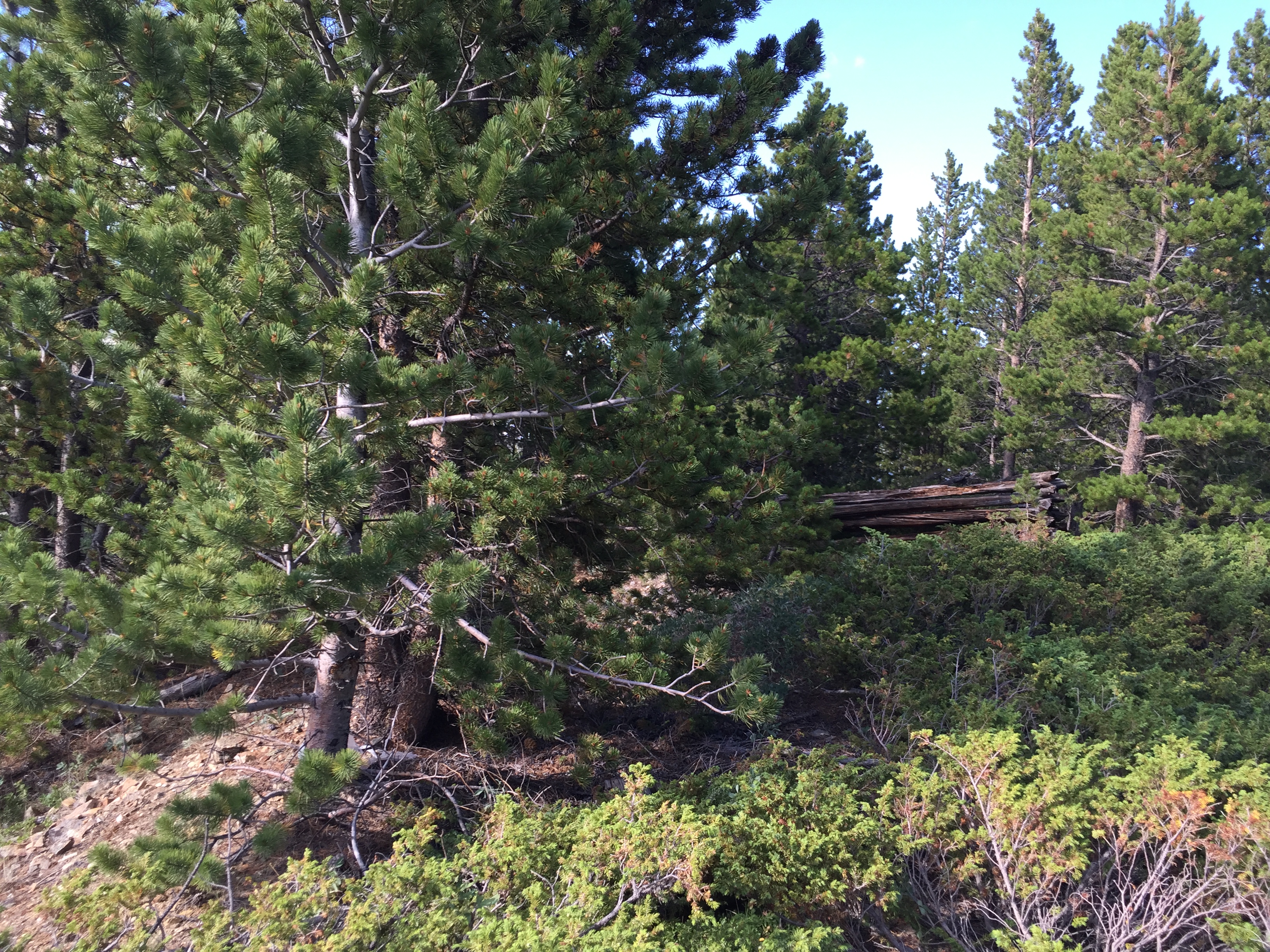
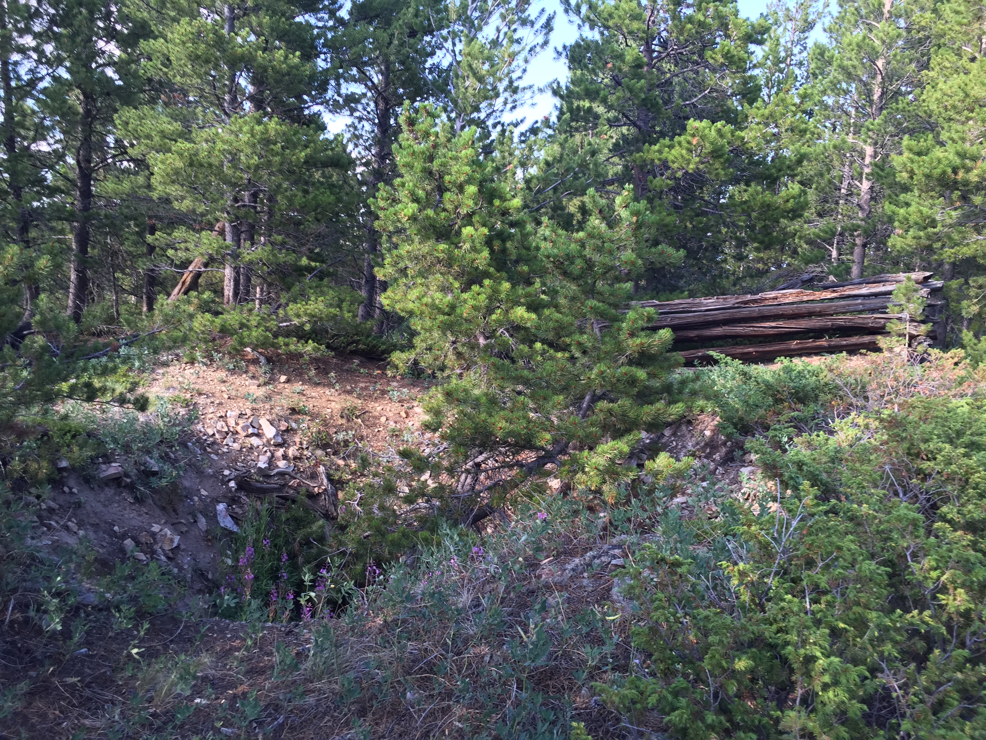
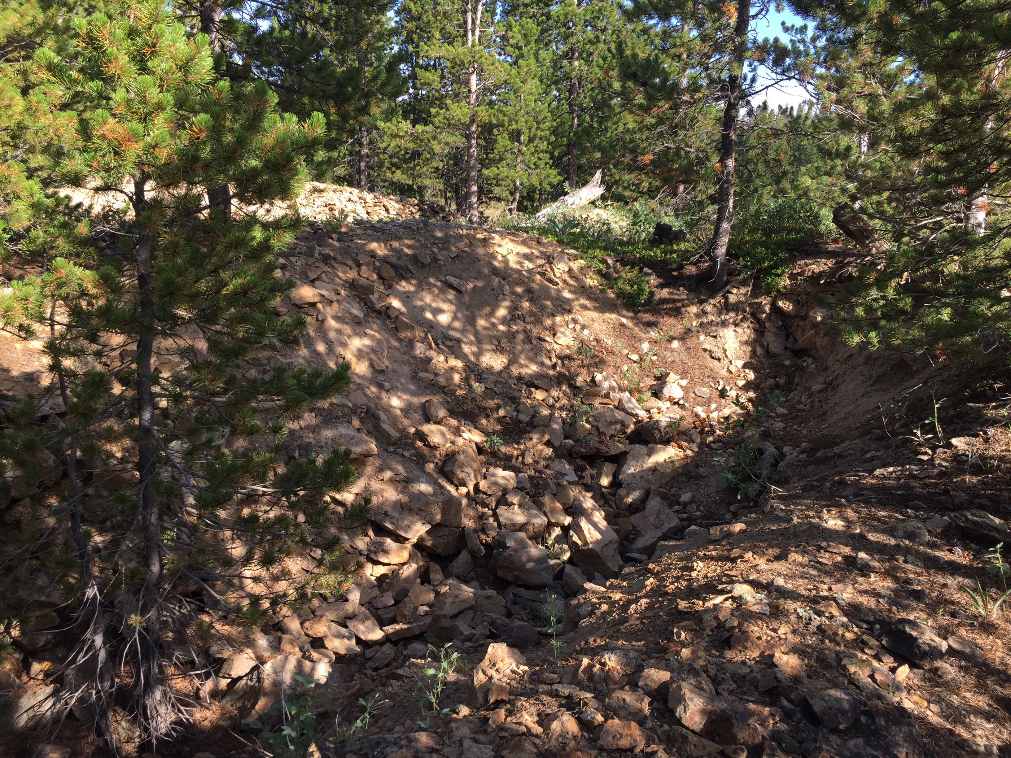
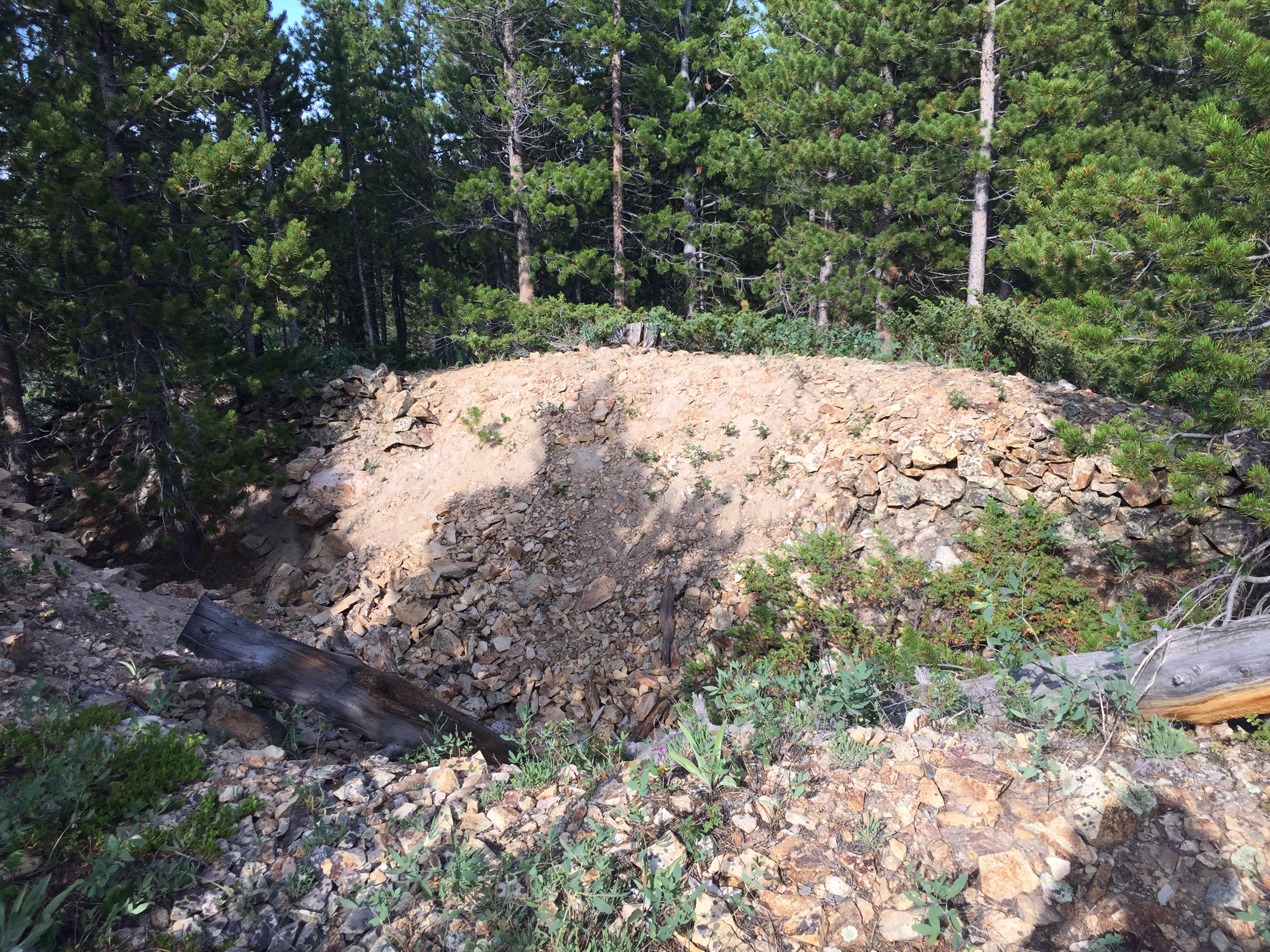
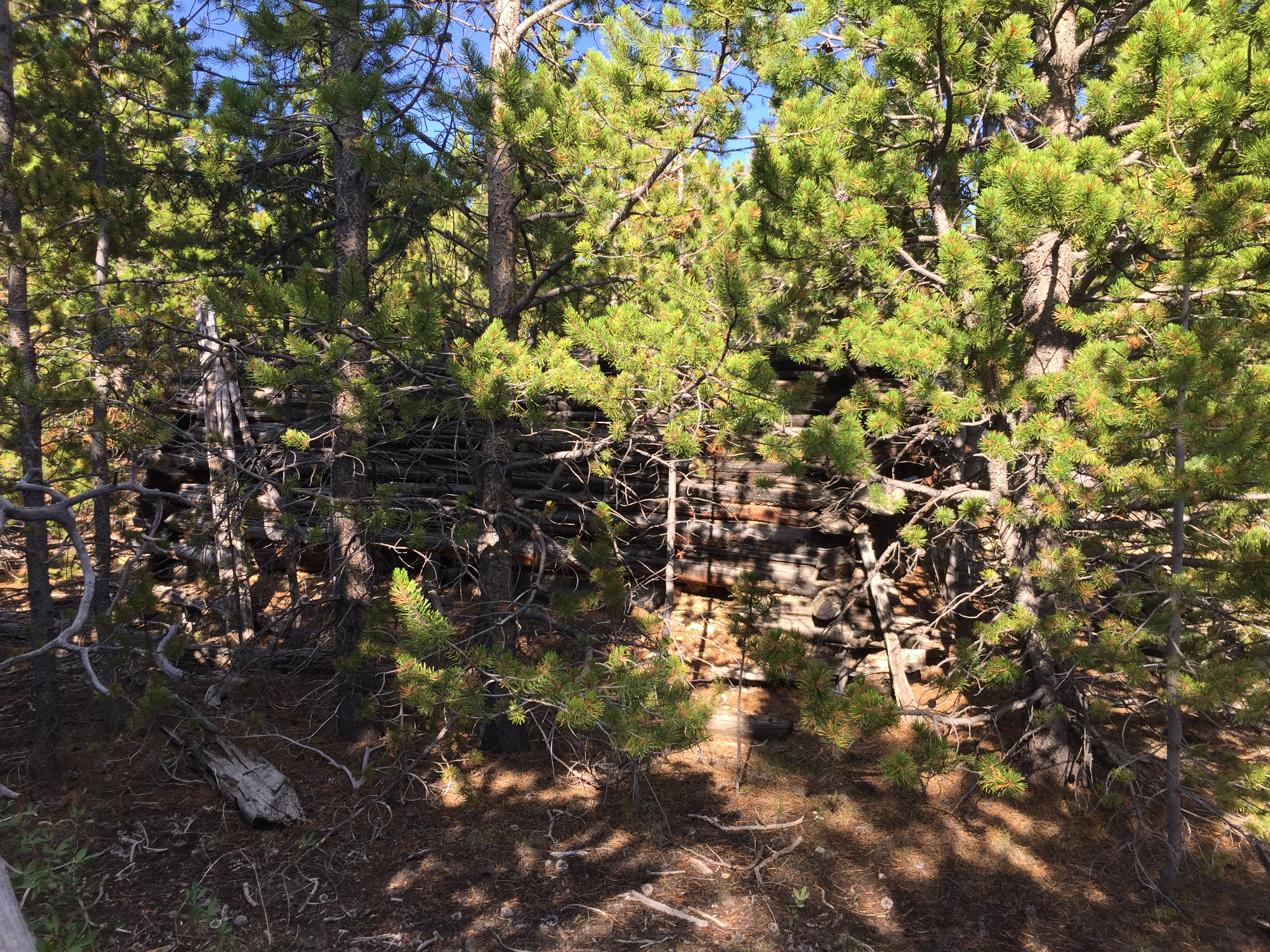
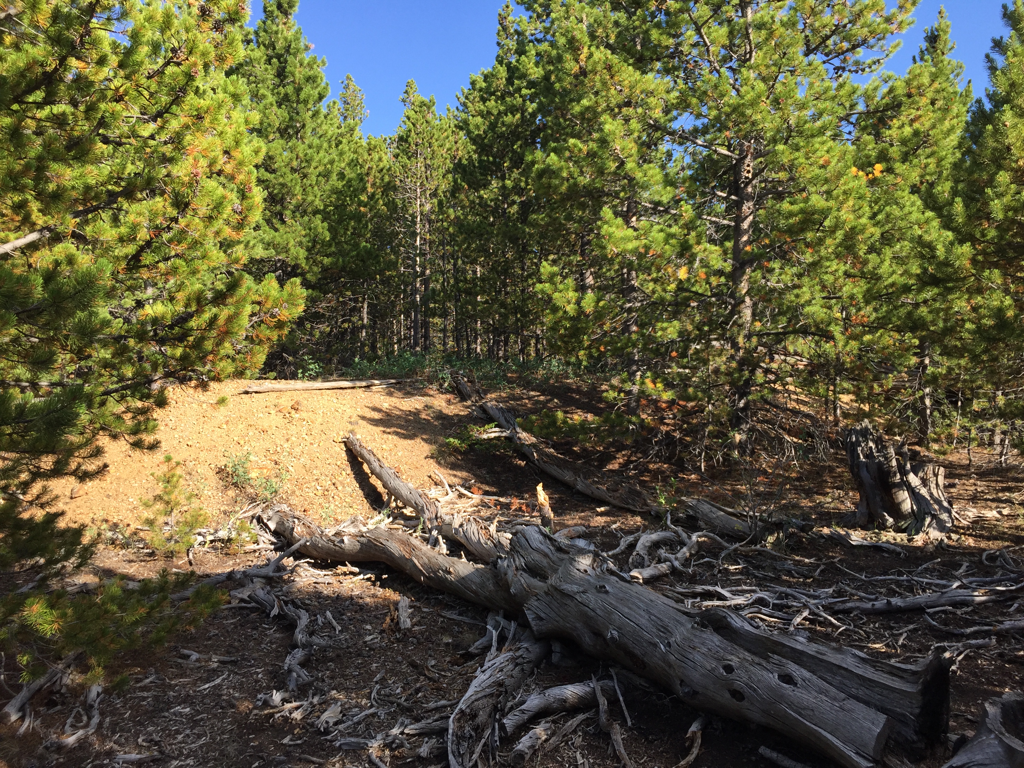
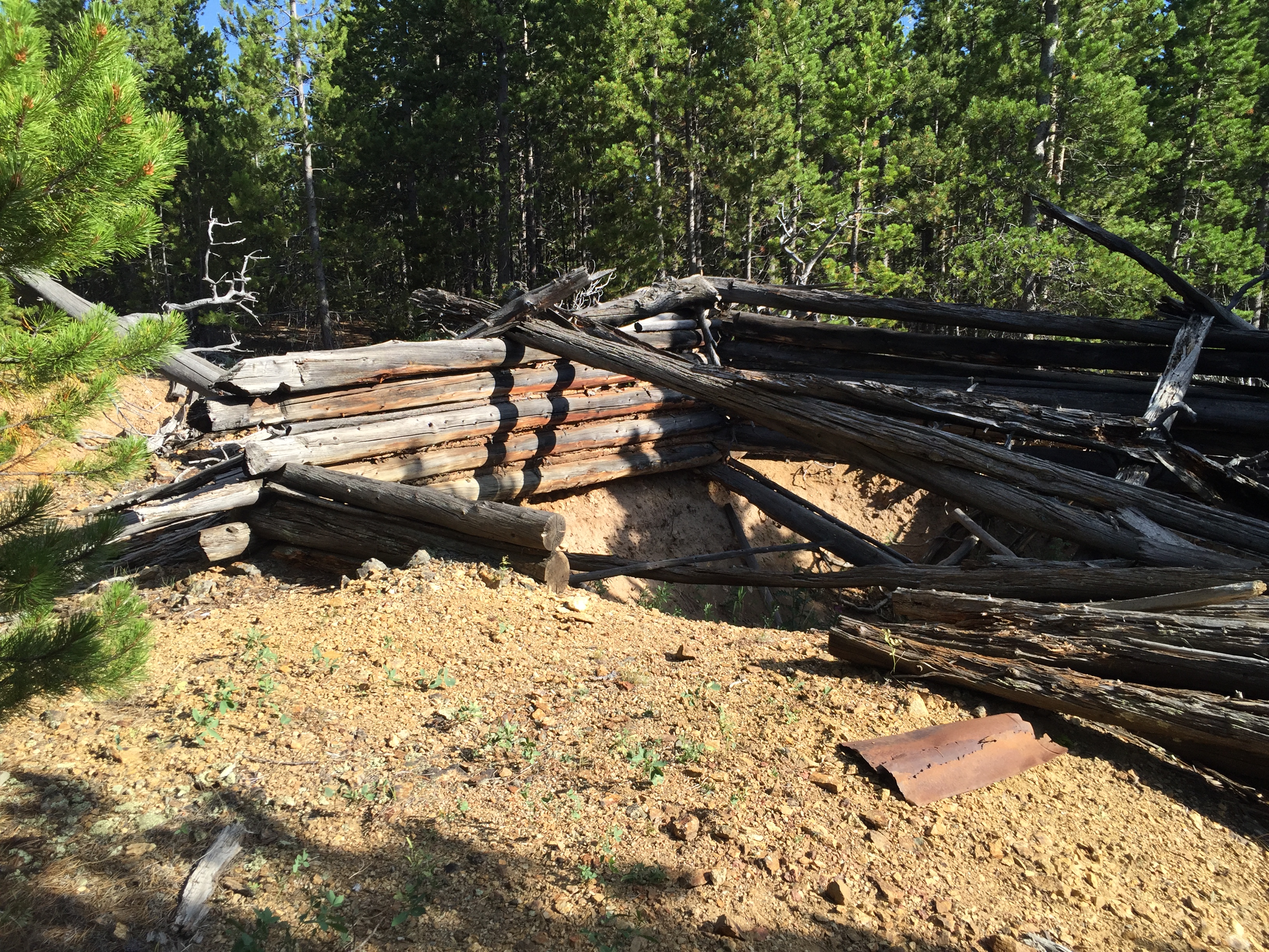
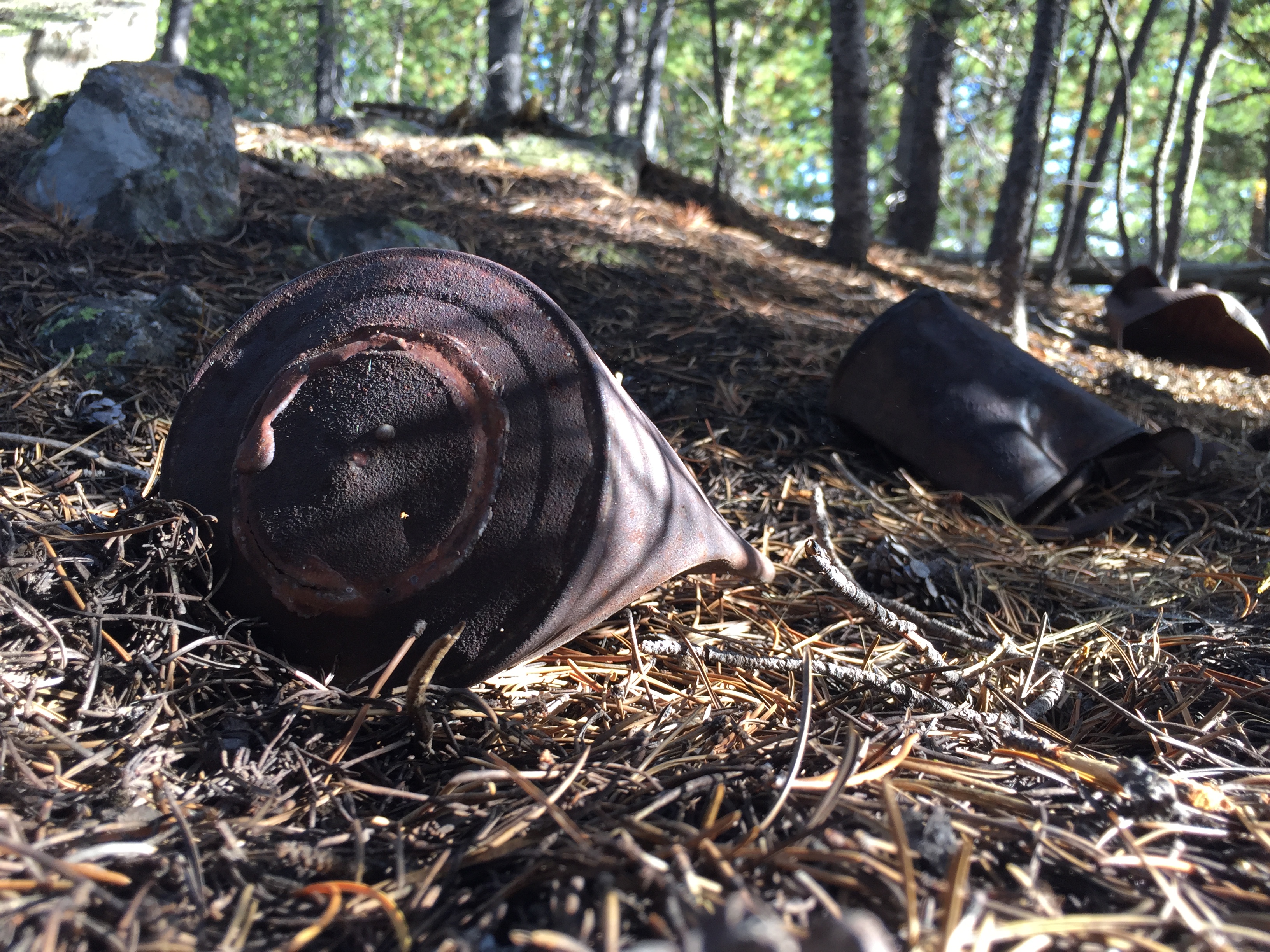
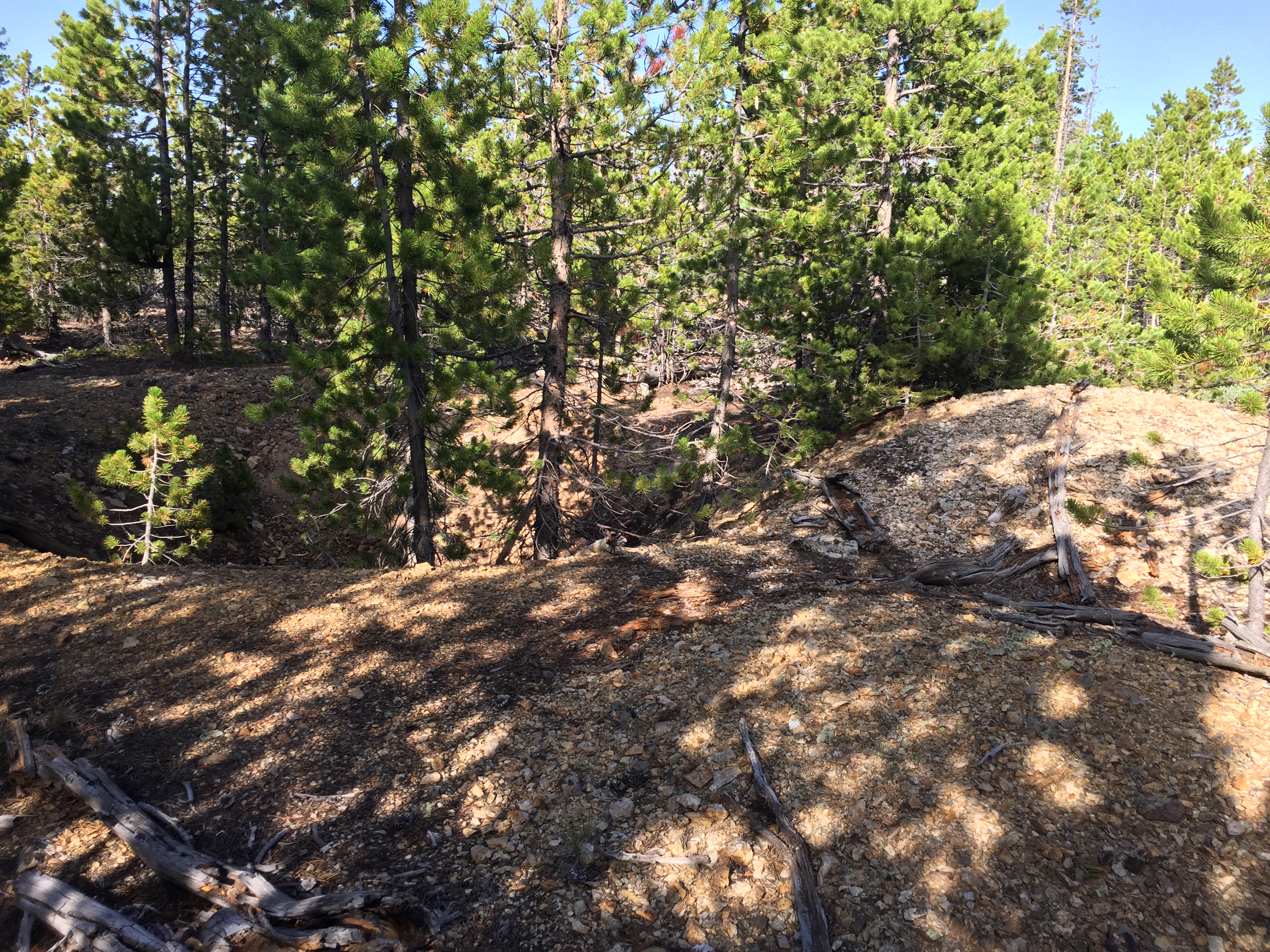
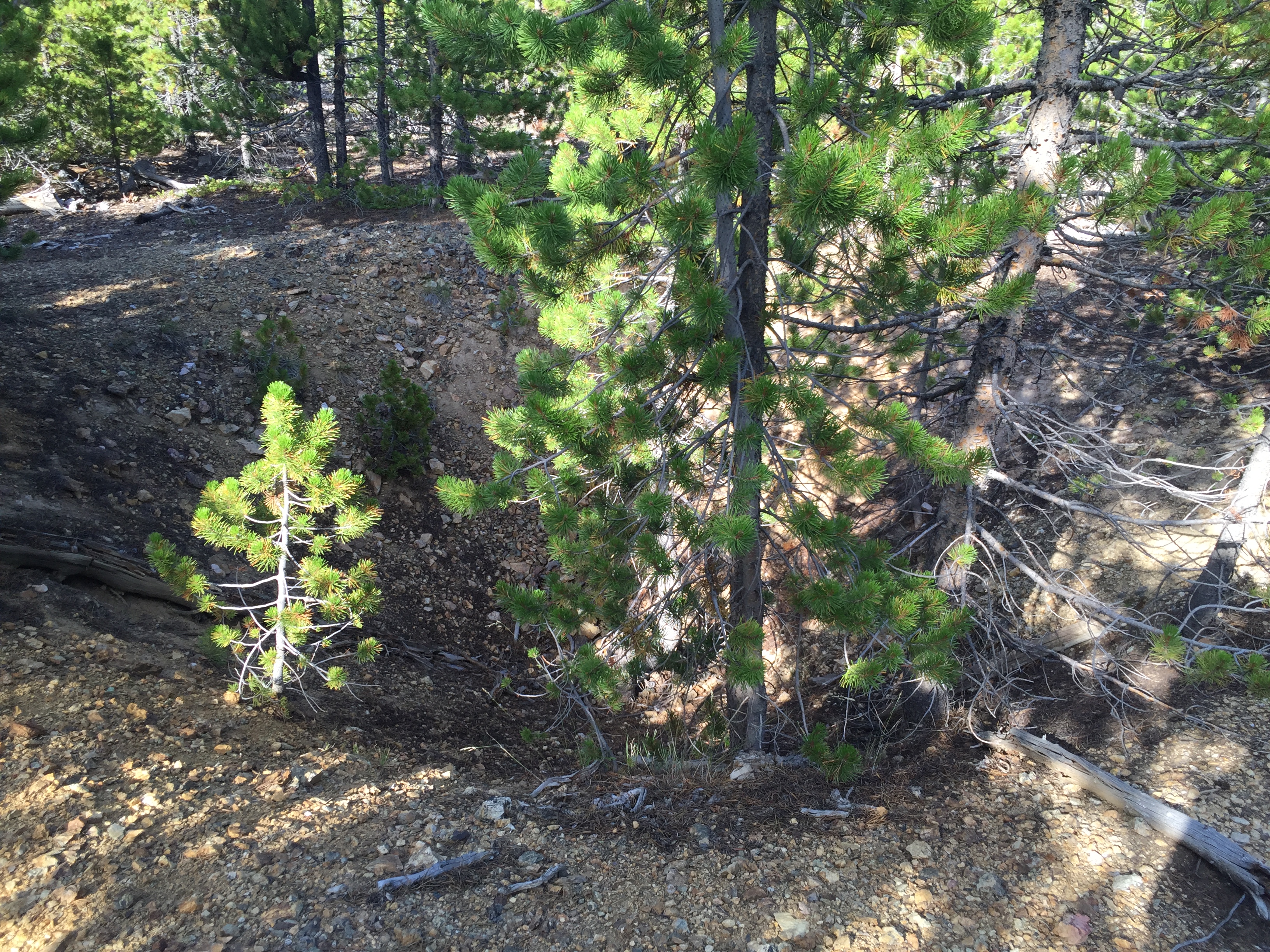
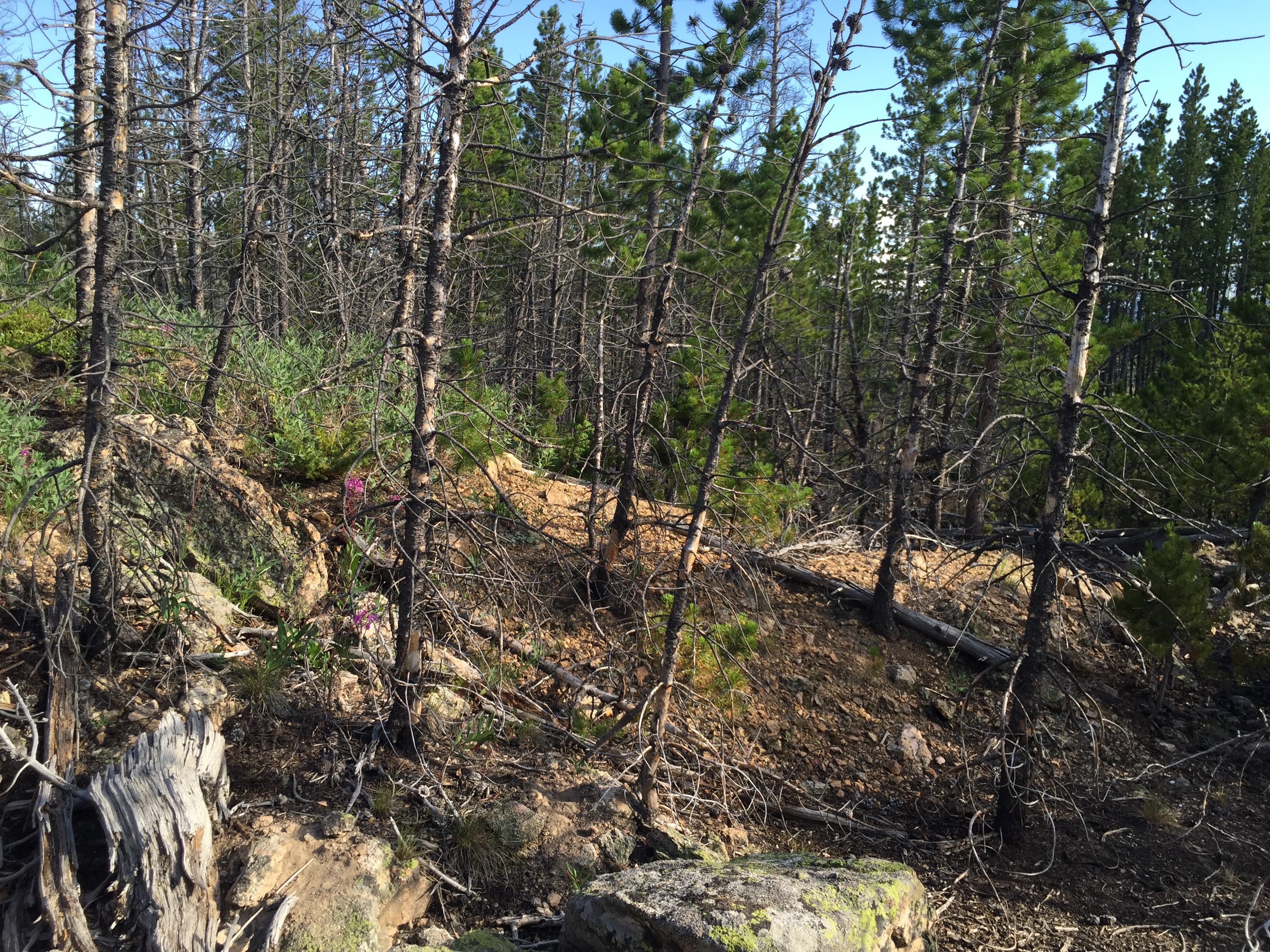
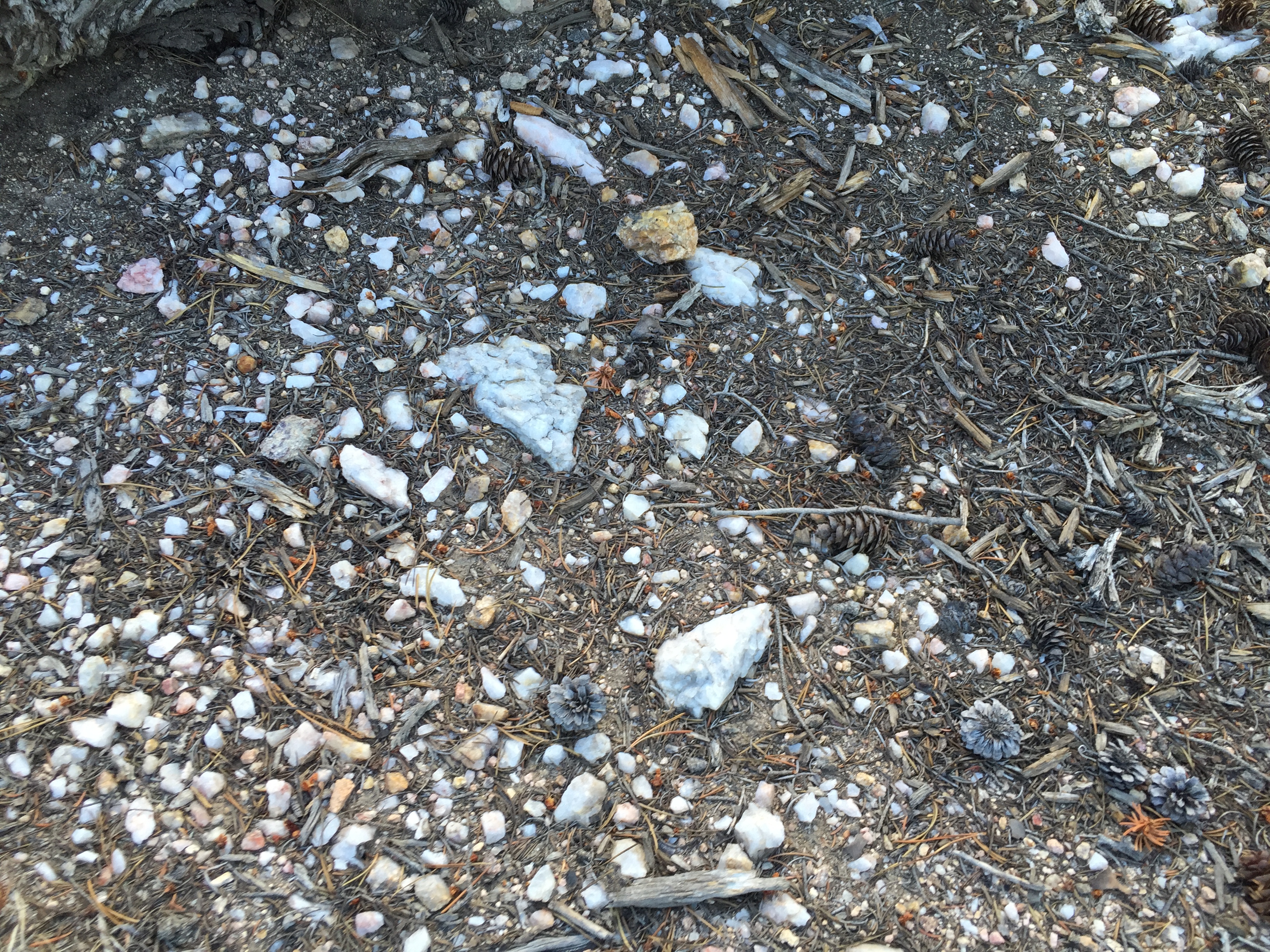
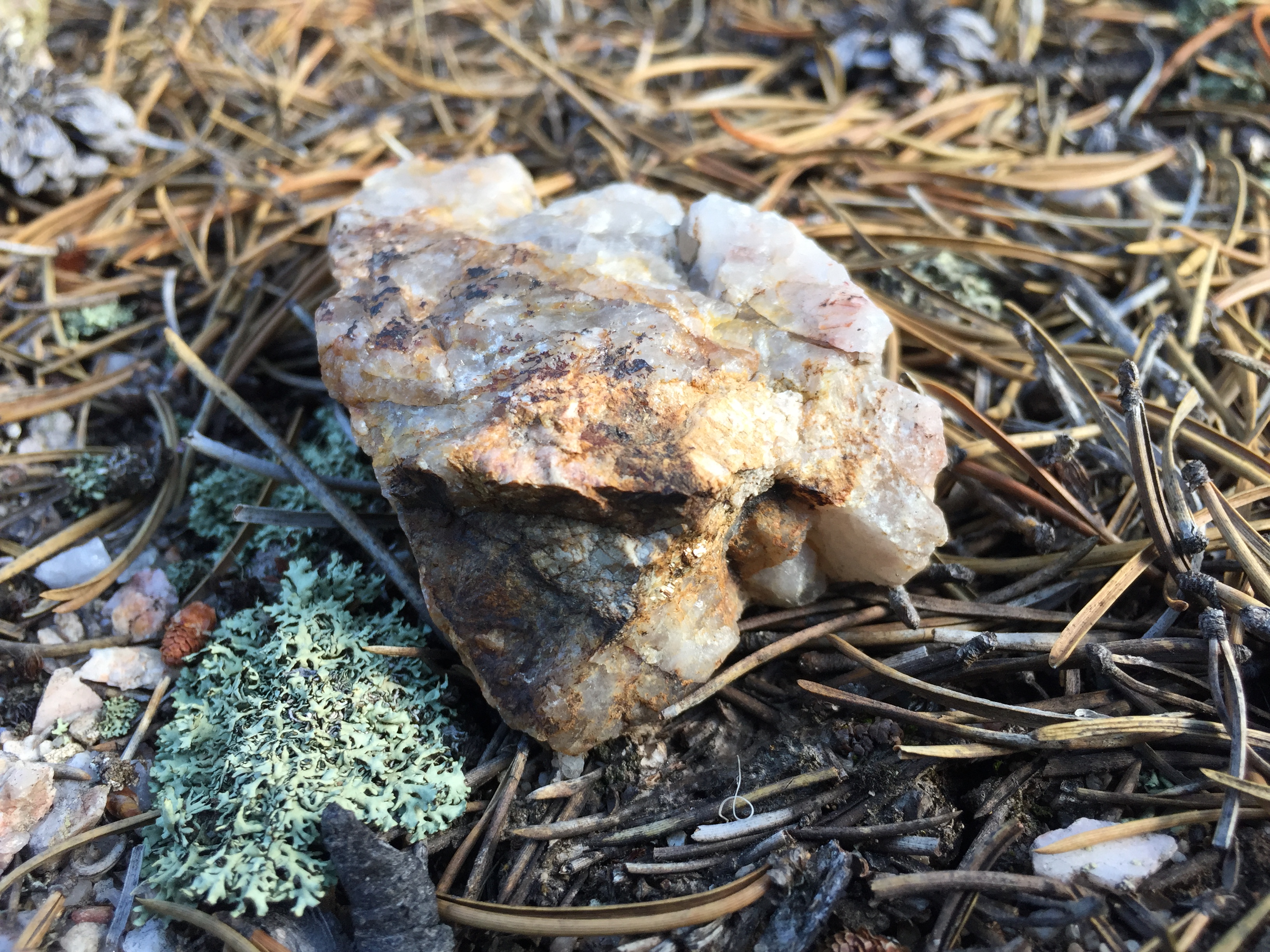
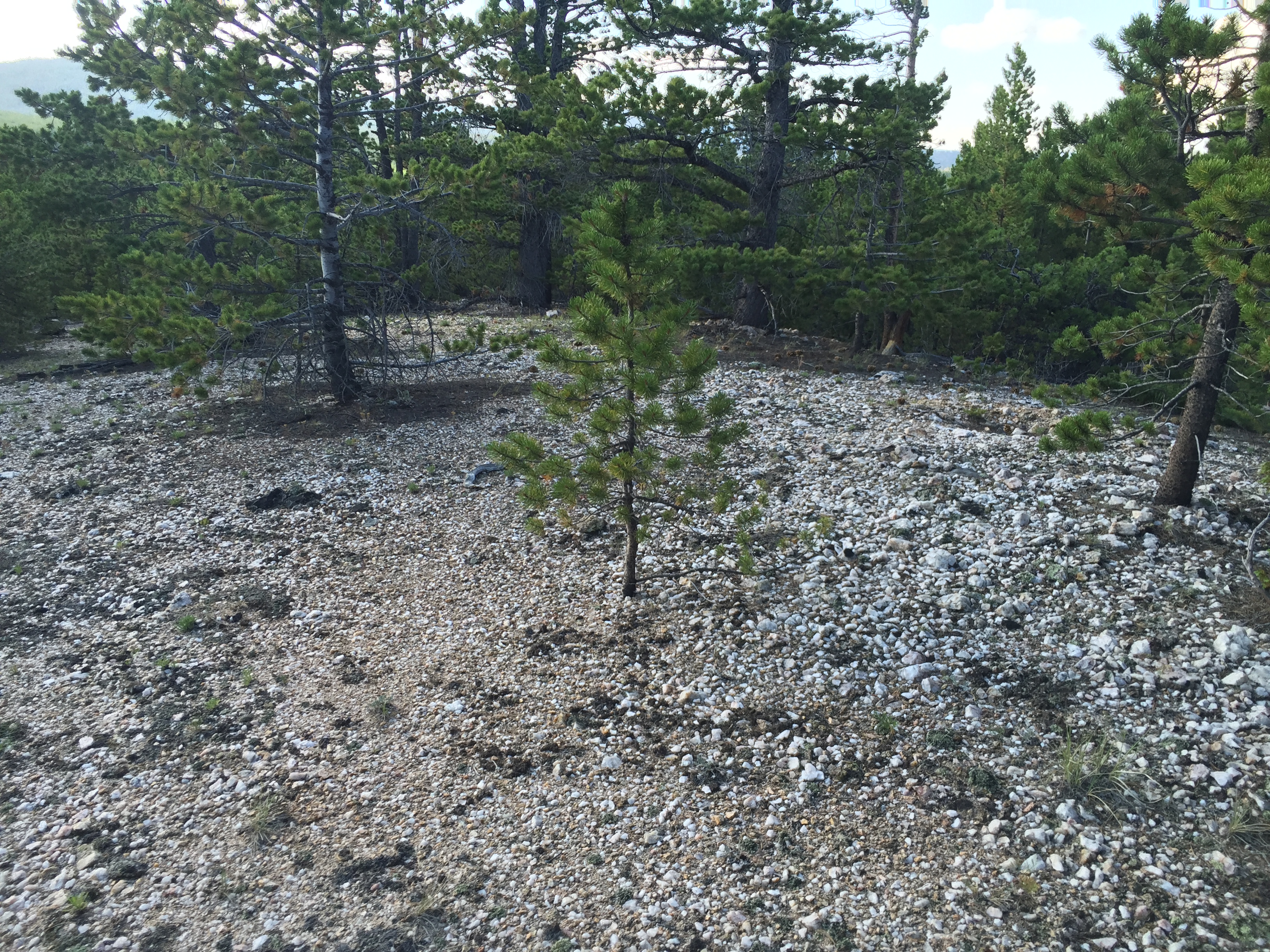
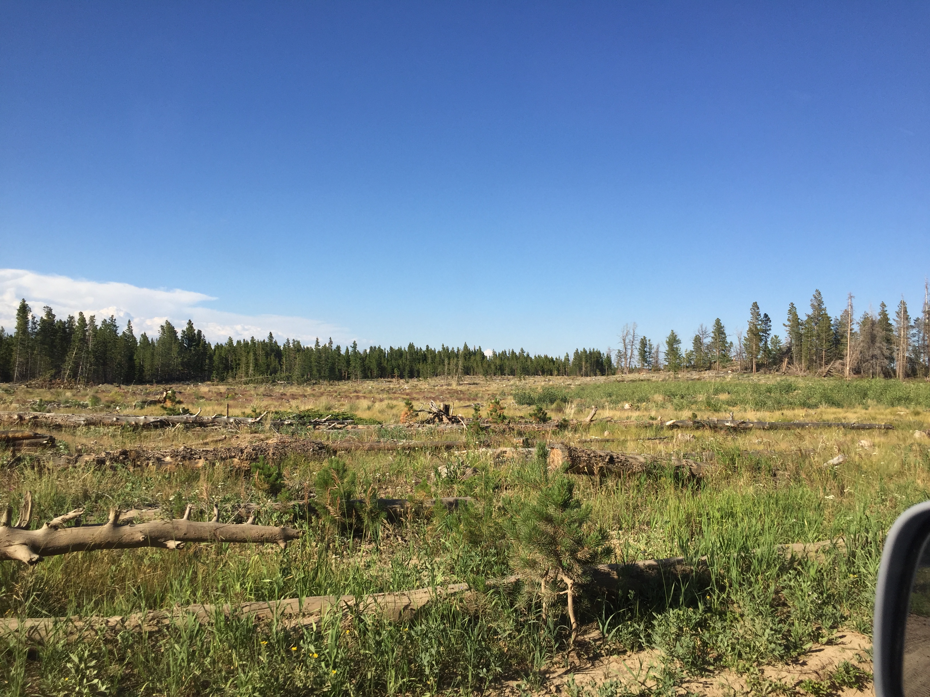
This is a very special claim for the Manhattan District. To the best of my knowledge this is the most extensive claim in the area, containing over 21 vertical shafts and prospects. At least one shaft is known to have an eroded in drift tunnel partway down. Dump piles on the surface contain oxidized ores, and some quartz. The claim also has multiple large quartz outcroppings, and easy access for camping or RVs. Scroll down for maps, including an interactive Google Maps window.
The ore seen in the dump is oxiddes and signs of sulfides.
PHOTOS ARE FROM 2020


Maps